DC–Baltimore Railroads and Terrain
[The interactive map is not currently available. It was hosted on an older mapping service, which has now been sunset, but I hope to bring it back.]
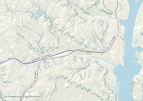
Riding Amtrak and MARC along the Northeast Corridor, I’ve gotten curious about the routes that railroads follow, especially the complex approaches to DC and Baltimore. Why does the Northeast Corridor depart over the Anacostia? What’s that patch of swampland that flares up a little south of BWI? I’m also interested in the way that the railroad network ties together, intrigued by the disused line that curves away outside of Baltimore Penn Station, or the path that freight trains take around DC.
Here’s a map that plots the region’s rail lines against a background of terrain.
Railroads enter DC along the low ground of the Anacostia, and the Metropolitan Branch leaves the city through a gap in the hills, below Ft. Totten. Over in Virginia, lines enter Alexandria along Four Mile Run.
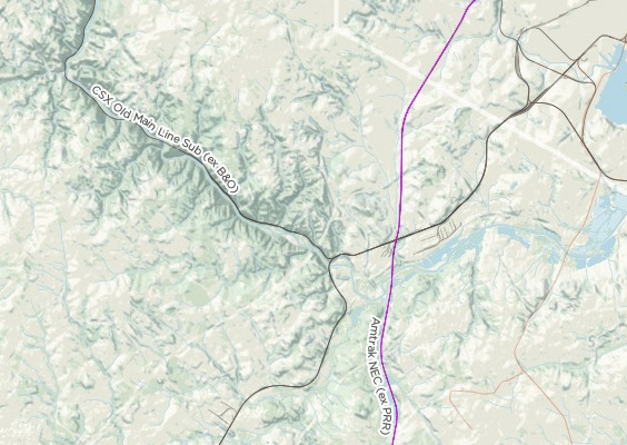
From DC to Baltimore, the B&O’s trackage follows the fall line, between deep valleys to the west and wide tidal creeks to the east. Heading west from Baltimore, the Old Main Line hews tightly to a curving river valley–too tightly for efficiency.
Data from USGS, Open Street Map, and DC GIS.