Hillshading/color study I, Mt. Greylock
A study of hillshading and color, overlaying light from two directions, atmospheric perspective (like mist in valleys), and hypsometric tinting. These maps show the Greylock Range in Western Massachusetts, and the Taconic Mountains and the slope down to the Hudson Valley.
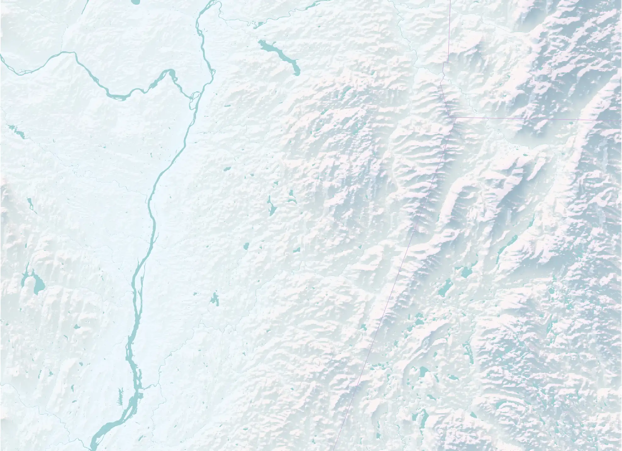
Hillshading and atmospheric perspective alone.
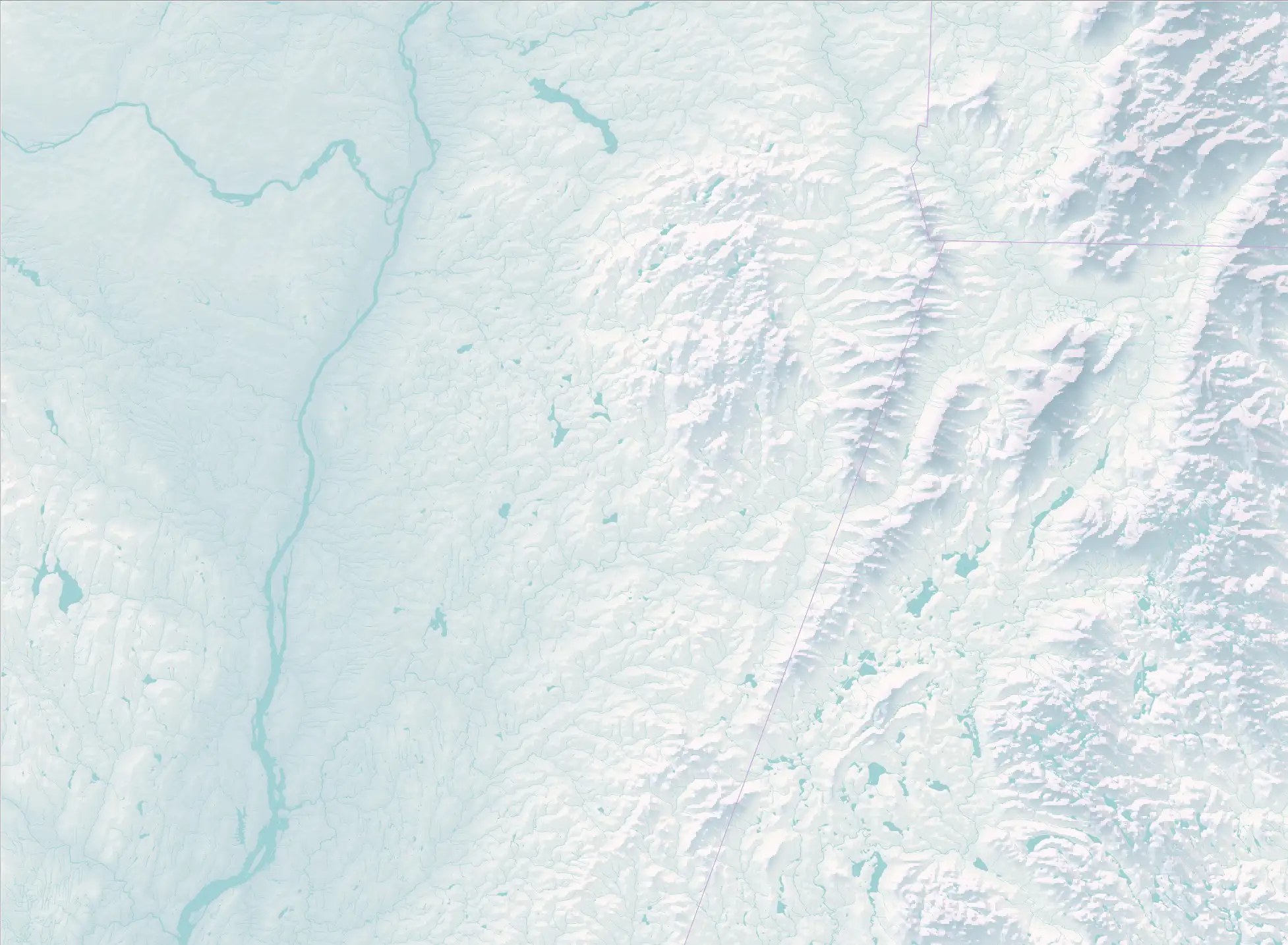
Adding hypsometric tinting, rendering the low-lying Hudson Valley in a blue-green.
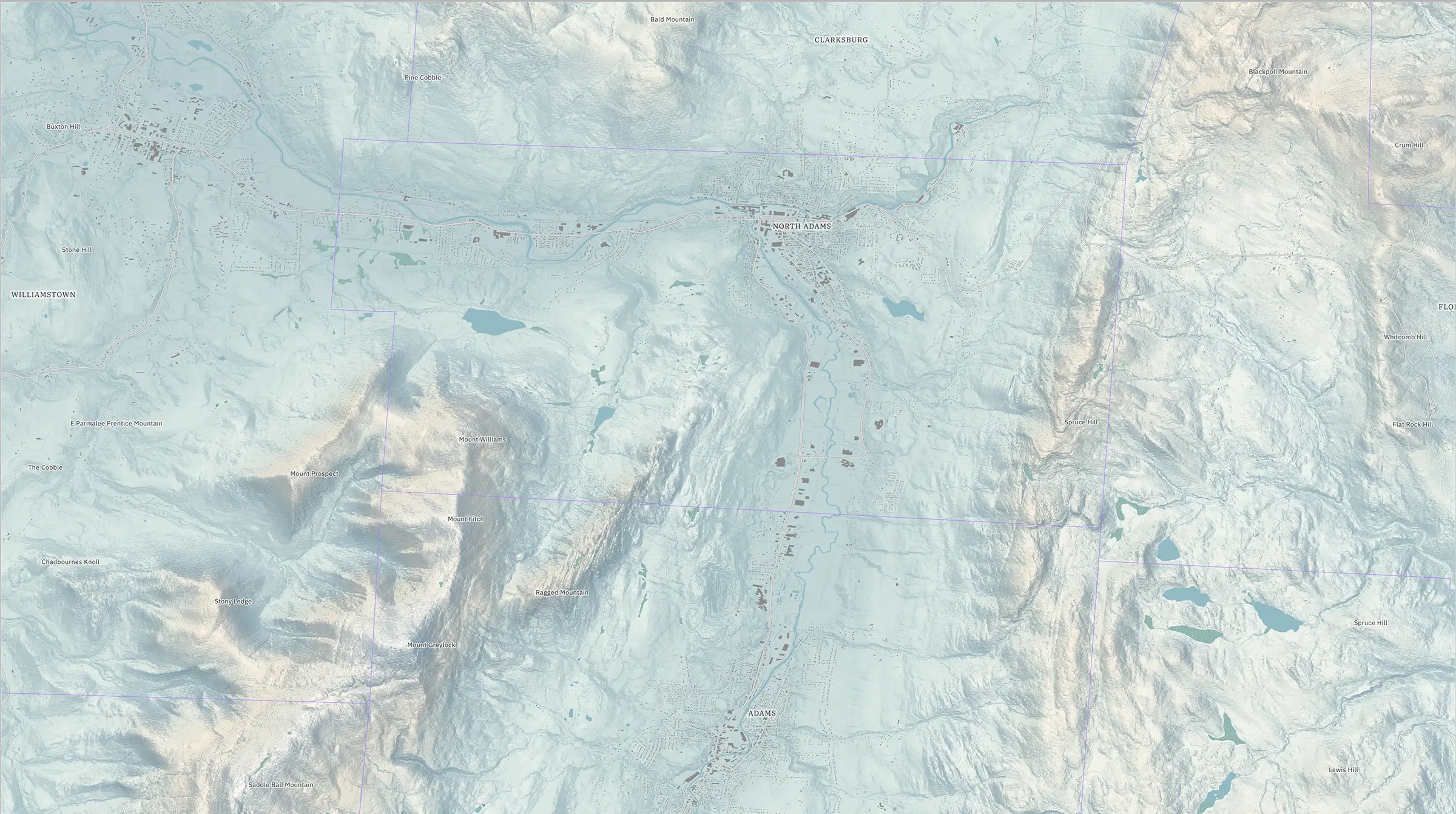
A larger-scale map of the towns around Greylock. Data for all maps are USGS NED.