Mapping NYC Subway Elevated Structures
Where does the subway run above ground?
[The interactive map is not currently available. It was hosted on an older mapping service, which has now been sunset, but I hope to bring it back.]
The City of New York provides a layer for transportation structures but doesn’t differentiate between subway elevated lines, road bridges, footbridges, and tunnel bellmouths. I isolated the structures that roughly correspond with subway trackage. The major areas of elevated track are correct, but short segments might be missing, and some of the structures shown are road bridges.
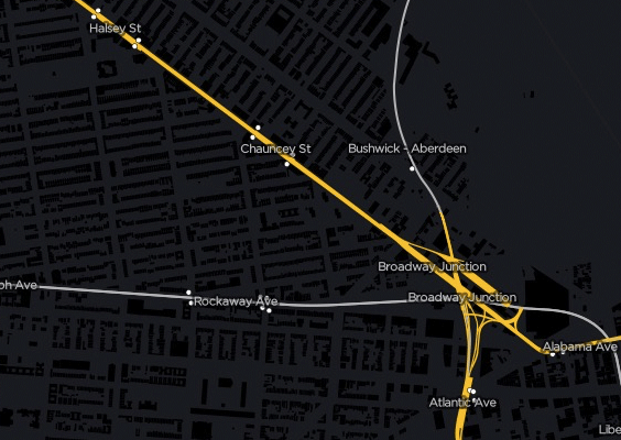
Jamaica Line (J/Z/M) and Broadway Junction.
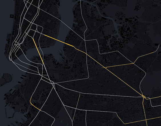
Connections between Manhattan, northern Brooklyn, and southern Queens.
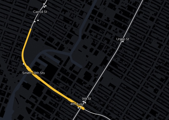
IND Church St. line (F/G) crossing the Gowanus Canal (see the Carroll St. Bridge).
I’m using subway route data from Steven Romalewski, who converted MTA GTFS data into shapefiles.
See nycsubway.org on Elevated Sections of the Subway.