Slash Run and Brown’s Run
Before D.C. grew into its modern form, with its rowhouses and stores and apartment buildings, most of its 68 square miles was covered in fields and pasture, broken by wilder patches of woods, brush, and marsh. A network of streams flowed through this landscape, running from the hills down to the tidal waters of the Potomac and the Anacostia. Most of those watercourses — 70 percent — are gone today, their flow routed into culverts and sewers, or the rainfall that sustained them instead diverted into storm drains.
We can reconstruct their paths, though. This map is the first of a series, visiting the District’s lost streams, one watershed at a time. (There’s more information, too, on the page for Slash Run.)
The map lays the courses of the long-vanished Slash Run and Brown’s Run onto the contemporary city. The blue lines are ● historic streams . Purple lines follow the large-diameter ● pipes that carry rainfall today. The present-day ● surviving waterways appear in dark blue.
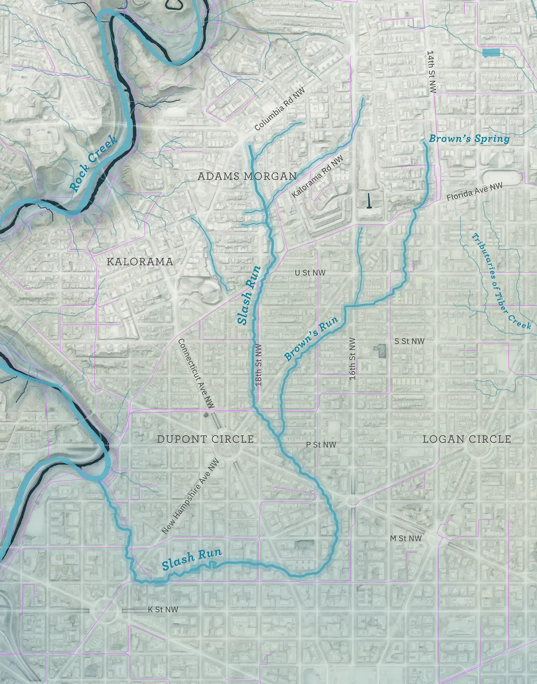
The streams here are a model of what the city looked like in the first half of the 19th century, based largely on Albert Boschke’s 1861 map. Positions are imprecise and the product of educated guesswork.
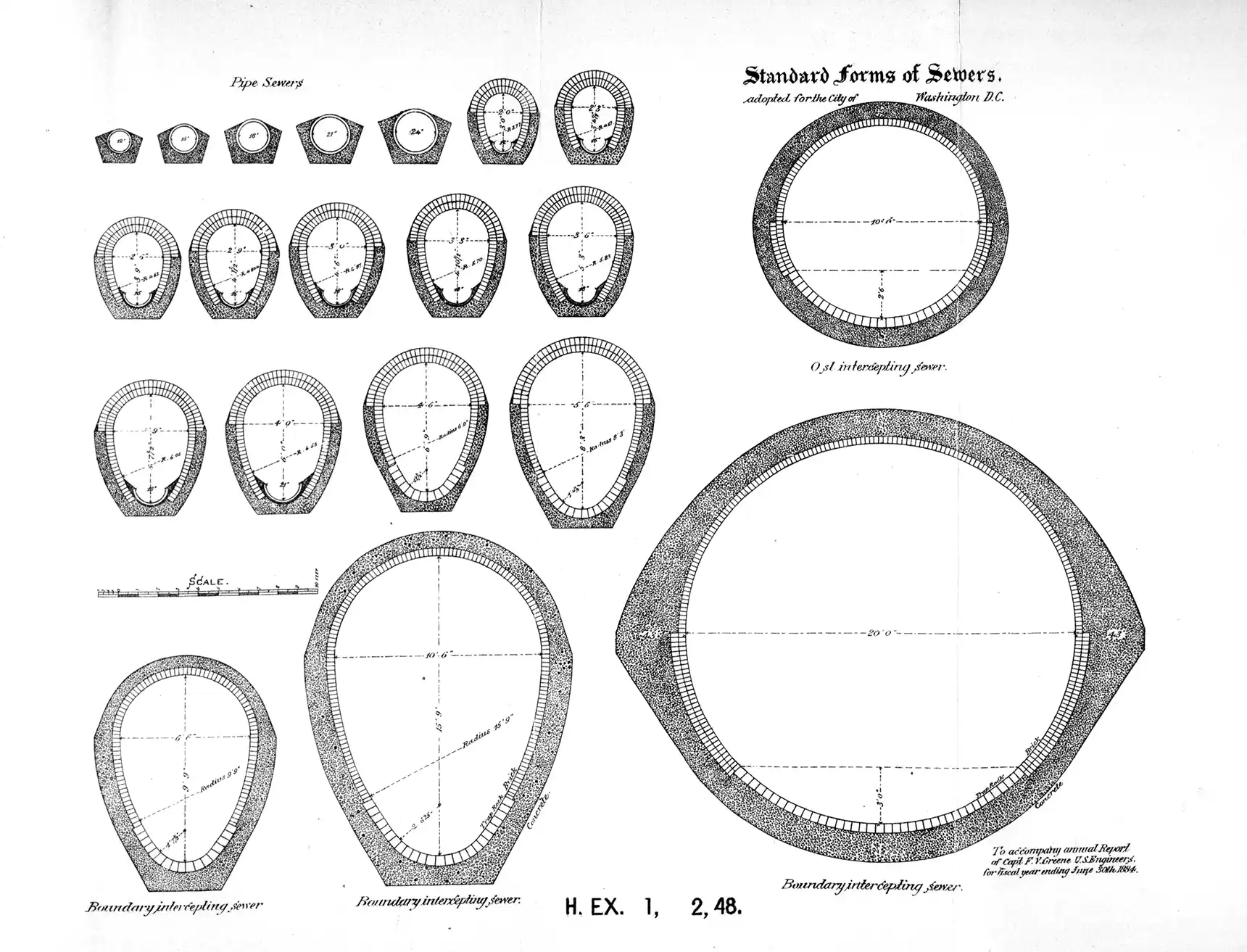
Standardized designs for sewers, from the Annual report of the Board of Commissioners of the District of Columbia for 1884.
Walking tour soon
I’m planning a walking tour of Slash Run for December 2023–January 2024. Please join. I’ll send a newsletter note out when I have the tour scheduled.